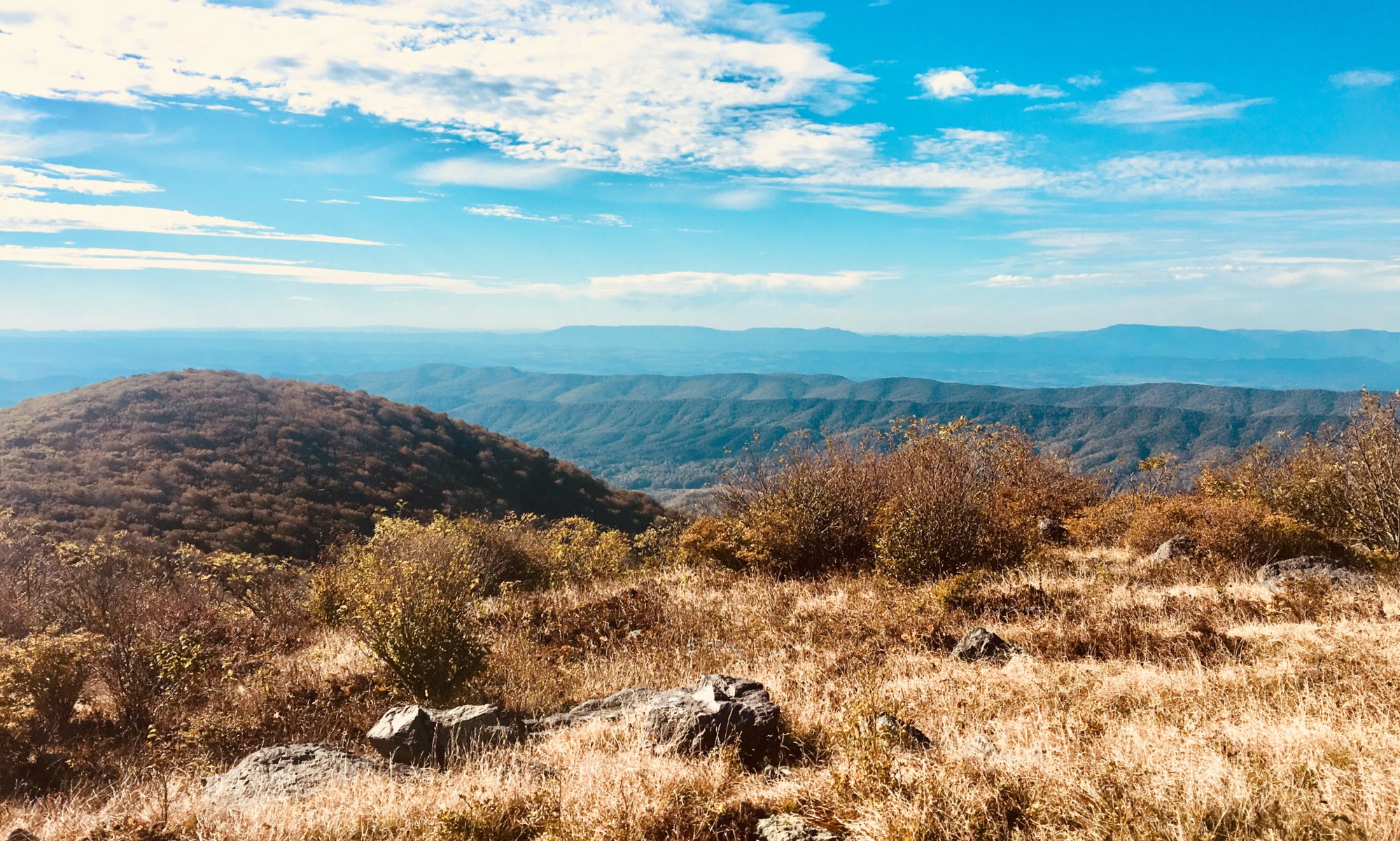

After a win from our Women’s National Team for the World Cup (YAAASSSS), I was ready to head into one of the world’s most visited National Parks. Is that a real fact? I have no clue. But there are a shit load of people here so I’m sticking to it. Fight me. As we drive into the park along the Icefield Parkway we are greeted with loads of traffic, wildlife along the roads, and lots of scenic pullouts.

After finally snagging a park map, we find that there’s lots to do and see on this road. Our first stop is the Athabasca glacier toe, which is just a small one mile hike from the road. As we pull in, the parking lot is packed and cars are lining the roadway in. We snag a spot a good distance away and walk towards the glacier. Tours that allow you to walk onto the glacier are gathering at every corner. A bus full of tourists takes a side road and drives up and onto the glacier. This place looks like a kicked hornet’s nest. I wonder how much money this chunk of ice makes a year… Probably more than me. Well, I make zero, so definitely more than me.

As we get to the glacier access, the hike is actually pretty strenuous. Straight up for a half mile. People are struggling to get up this short, steep, paved hike. The altitude isn’t helping anyone. Cas and I sprint up past the large herds, and realize we really can’t get close to the glacier at all. Damn you climate change!! Oh well. At least we got out of the car for a bit. As we trek down, we pass large groups of ice tours beginning their summit hike to the viewing area. I don’t think half of these people are even going to make it to the ice.
Back at the car, we want to stop at the Columbia Icefield visitor center, but, there are just way too many people there. Screw it. let’s keep driving south. We found a hike in my Milepost Bible just off the Icefield Parkway, and near to where we are planning on camping. The Taylor Ridge parking lot is packed with cars and RVs, but we’re able to find a spot and prep for the hike. It’s a short uphill trek, and tons of people are on this path. When we finally get to the top of the ridge, the view is incredible. You can see a sweet glacier, plus there are tons of Colombian ground squirrels, grey crowned rosy finches and Clark’s nutcrackers fluttering about. The weather was cool, but we decided to stay at the top and have a snack while soaking up the views.


After leaving Taylor ridge, we head to a camp spot that’s just outside of the park’s boundary. I have some written directions that Cas is reading to me, but I think we have different ideas about what a “road” is. I’m looking for something small and made of dirt, and Cas is expecting an actual paved road. Maybe even a road sign. Regardless, we pass our turn by about 7 miles. We put the coordinates into my GPS after realizing we are lost, and back track for a bit. A tiny path meanders into the woods, and we follow it along the Banff boundary line. Very happy for 4×4 at this moment. At the end, we are greeted with an amazing site right along the river. We decided to start a fire, eat a nice dinner, and sleep in. We soak up the lack of people and amazing views.


After a lazy morning, we headed into Banff to try and get some hikes in. We know it’s going to be difficult to find parking, but we decide to try it out. Our first stop is Peyto Lake, which is a glacial lake that has an amazing blue color.
When we get there, it’s a mad house with people. But, there is ample parking and plenty of room on the trail to quickly pass slow people. We get to the main overlook and were blown away by the view.

While we are standing around checking out the lake, Cas decides she wants to get closer to the beautiful water. Hm. That’s a long way down, you sure about that? But she had already found a trail down and was starting her descent.

The “trail” we took was pretty much straight down. No frills. A bit scary as we were the only people making this journey. Cas didn’t care. She just kept on walking, clapping at more frequent intervals to alert all the bears that we were coming down.
Once at the bottom, the color changed. Being at this vantage point did not provide the same pretty blue that was spotted higher up. Light refraction, angles, sunlight, blah blah blah. Regardless, it was still neat. Plus there was only one other person down there, so it felt as if we had the lake to ourselves.


The hike back up sucked, but was relatively short. After leaving this shit show parking lot, we headed to an even shittier show parking lot at Lake Louise. We stopped at the main visitor center/town center here and grabbed a hiking guide. While there, we asked about how to get down to see Lake Louise and the other lake there that starts with an M. I can never remember its name…Moraine. Had to look that up for like the 5th time.
Anyway, the park ranger is awful. He says there is no way we’re getting down there until 9PM tonight. Don’t even try. Well ok then, let’s go find a camp spot and chill for a bit, then try and get to the lake later tonight.
While leaving the parking lot, I’m forced to take a right which leads me towards Lake Louise. I try to find a turn around, but there is none. Signs flash “PARKING LOT FULL” over and over again. I get it. It’s full. I just need to get out of here…
When we get to the area of the Lake’s parking lot, we are waved in. Um, what just happened? Did we just get a parking space? The answer to that is yes. Yes we did.
Here’s the bad part, we have a 12 mile hike planned and neither of us are mentally prepared for that. Oh well! We suit up, grab a ton of snacks and water, and hit the trail.


Alright this area is a lot like an amusement park. Tons of people. A damn hotel right on the lake’s shore. Lucky for us, we’re planning on hiking 5 miles up on the plain of 6 glaciers trail to a tea house nestled just under a glacier! There can’t be that many people up there, right?

Wrong! Tons of people were up here. But, it didn’t matter because this place was super cool. The owner grew up in this house as a little girl. She now owns the property and runs a tea house in the summer. No electricity, no running water, they helicopter in the supplies once a year. Everything else is brought up and down by horses. The staff live on site in cabins around the tea house. This was super cute, plus it was delicious tea and soup. On top of this, there was a very active glacier calving just above the tea house offering thunderous roars every few minutes. I loved it.

After a nice late lunch, we decide to hike another few miles to see the other tea house in this area. This section of the hike was my favorite. Few people, small trail width, and awesome views. Cas also got to see an arctic hare hop past her on the trail!

The other tea house was closed when we got there, but it was fine. We just wanted to check it out. We stopped for a moment to soak it in, then headed back down the mountain to try and see if we could sneak in to see the next big lake here, Lake Moraine.

Back at the car, the parking lot was starting to clear out. It’s 7PM now, so all these people with kids should presumably be going back to wherever they are staying the night, right? Even with fewer people around, Lake Moraine was a bitch to get in to. We had to sit in traffic for about 15 minutes before finding a spot. Once we were there, we decided to walk around the lake shore and get some photos in.


After walking another 3 miles, we had completed 16 miles of hiking for the day. We were beat and ready to settle down for the night. We found the overflow parking/camping area (aka a gravel parking lot), and found the last spot available. It was only open because it was in a huge puddle… But we didn’t care. We just backed on in and made ourselves comfy. Tomorrow we’re headed down to the town of Banff to check it out, and then down to the town of Canmore. Should be interesting!
